NEXT Alert: South Florida under Tornado Watch, Flood Watch, Wind Advisory through Saturday
MIAMI – We’re in for some wet and windy weather through Saturday.
On Friday night, The National Weather Service issued a Tornado Watch for all of South Florida through 3 a.m. Saturday and a Flash Flood Warning through 2 a.m. Saturday.
Miami-Dade, Broward, and Monroe counties remained under a Flood Watch through 8 p.m. Saturday. Miami-Dade and Broward are also under a Wind Advisory through Saturday evening.
This is due to a strong low-pressure system in the Gulf that will bring rounds of rain from Friday through Saturday.
The National Weather Service’s Storm Prediction Center has placed South Florida under a Level 1 risk of severe weather Friday with the potential for heavy rain, flooding, damaging gusty winds, small hail, and isolated tornadoes. The biggest concern is flooding but there is an elevated risk of strong damaging winds.
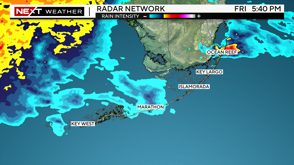
South Florida could see three to five inches of rain with some areas getting as much as six inches. Periods of heavy rain are expected Friday and Friday night. The highest accumulations are likely to be along and south of Alligator Alley where four to six inches are possible, according to the National Weather Service.
There is a marginal risk for severe thunderstorms on Friday and Saturday with the strongest storms expected across southern portions of the area. The strongest activity may have wind gusts up to 60 mph. Gusty background winds are anticipated to accompany the system with sustained winds of 20-30 mph and gusts to 40 mph possible on Friday afternoon through Saturday afternoon.
Sunday will be drier with plenty of sunshine and highs in the upper 70s. It will be slightly warmer early next week with highs in the low 80s.