Tornado Watch issued for Miami as Florida faces severe weather threat on Sunday
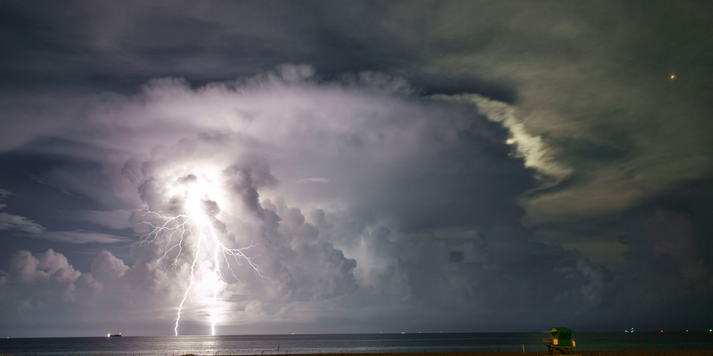
Powerful tornado-warned storm rolls through Miami metro area
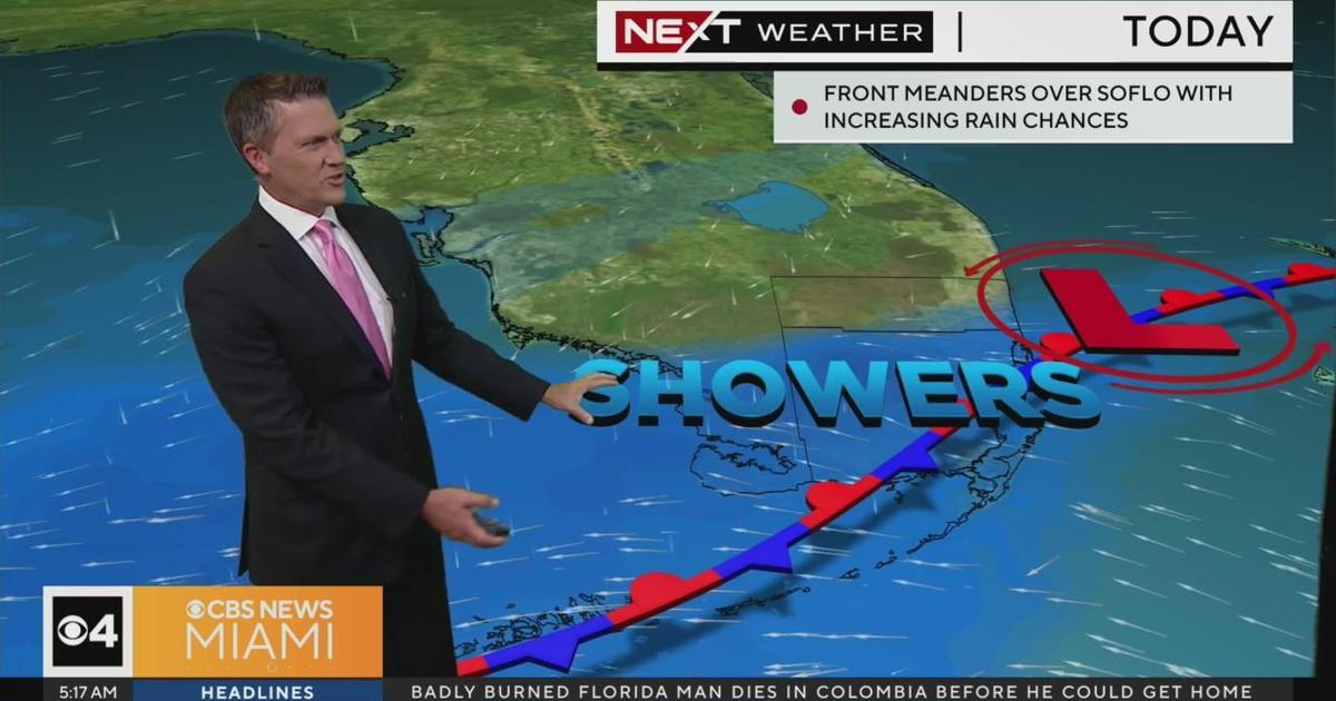
Tornado Warnings have expired for the Miami metro area but a Tornado Watch remains in place through Sunday afternoon as severe thunderstorms power through South Florida. Storms knocked out power and brought wind gusts over 60 mph on Sunday morning.
MIAMI – After a sunny start to the weekend across Florida, the Sunshine State will finish with a round of severe weather, with the threat of damaging wind and a few tornadoes particularly focused on South Florida.
NOAA’s Storm Prediction Center has issued a Tornado Watch for South Florida and the Florida Keys until 2 p.m. EST. The watch area includes Miami, Fort Lauderdale, West Palm Beach and Fort Myers.
A storm system that brought a few tornadoes to Texas on Friday and threatened flooding along the Gulf Coast on Saturday is forecast to sweep thunderstorms into Florida on Sunday.
However, with some enhanced wind shear – the change in wind speed and direction with height – and plenty of available moisture, conditions are ripe for some thunderstorms to turn severe.
The severe threat was underway Sunday as Tornado Warnings were issued from the Florida Keys into the Miami metro area.
A 67 mph wind gust was recorded late Sunday morning at the University of Miami Health System as a tornado-warned storm moved through Miami around 10 a.m.
NOAA’s Storm Prediction Center has placed the greater Miami and Fort Lauderdale areas, plus the Florida Keys, at a Level 2 out of 5 risk for severe weather on Sunday. Threats include isolated tornadoes and damaging wind gusts of 60 mph.
TORNADO SAFETY: HOW TO IDENTIFY THE SAFEST PLACES INSIDE YOUR HOME
A Level 1 severe weather threat also covers a large swath of the Florida Peninsula, including Orlando, Tampa and Fort Myers.
Heavy rain brings flooding potential
As the low-pressure system sweeps across the South, heavy rain will bring more moisture to waterlogged regions.
Areas of southern Georgia, North Florida, Southwest Florida and South Florida could see some isolated flooding on Sunday and Monday.
Bad weather delays SpaceX return of Ax-3 crew
The bad weather forecast for Florida means a couple of extra days in space for SpaceX’s Ax-3 crew on the International Space Station. The crew was set to come home Saturday evening, but the return has been delayed until at least Tuesday due to expected poor weather conditions off Florida in the crew recovery area.
SpaceX can retrieve the Crew Dragon spacecraft and its crew from seven potential landing sites off both Florida’s Gulf and Atlantic coasts.
WEATHER IS CRITICAL FOR A SAFE SPACEX CREW DRAGON SPLASHDOWN
The forecast must meet certain weather criteria for a safe landing and recovery, including wind speed no greater than 15 feet per second and wave height no greater than 7 degrees wave slope. According to NASA’s landing criteria, lightning must be farther than 10 miles out, and rain chances need to be around 25%.
An error occurred while retrieving the Tweet. It might have been deleted.
The strongest storms will push offshore Sunday evening, ending the severe weather threat. Another round of showers and thunderstorms is expected on Monday before drier and sunnier weather returns for the rest of the week.