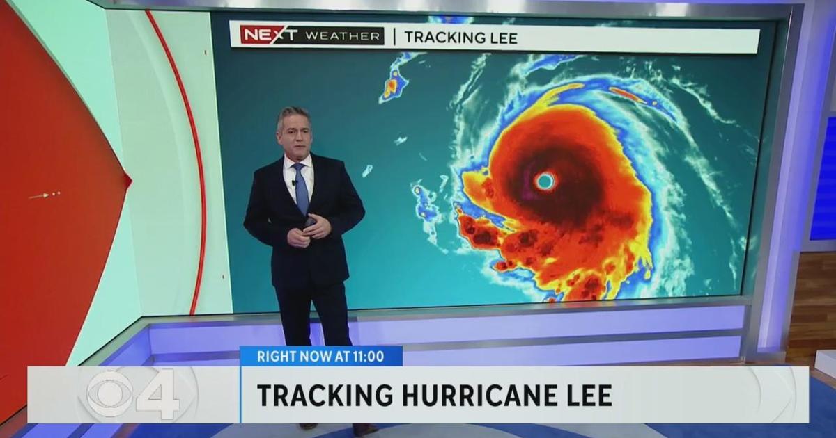
Tracking the Tropics: Potential Tropical Cyclone Two forms, 2 other areas being monitored
MIAMI – It is getting active in the tropics with three areas that are being tracked for possible development.
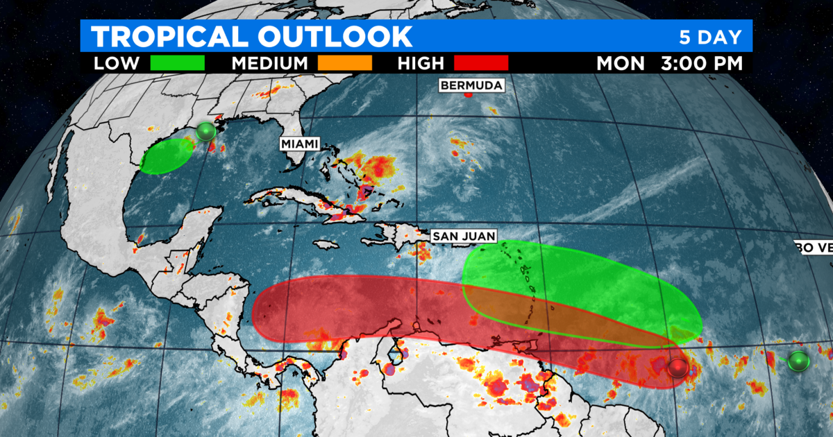
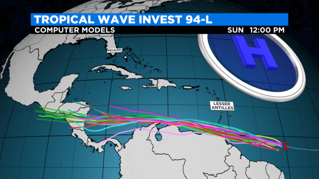
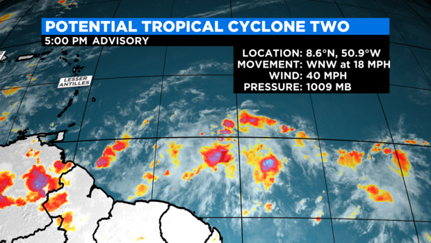
Invest 94-L is now Potential Tropical Cyclone Two and it is approaching the southern Windward Islands with a high chance of formation. It is likely to form into a tropical depression or tropical storm in the next one to two days.
Trinidad and Tobago and Grenada are under a Tropical Storm Warning.
CBS News Miami
Potential Tropical Cyclone Two is expected to reach the Windward Islands by Tuesday night, and then continue on a westward track across the southern Caribbean Sea Wednesday through Friday.
CBS4 Meteorologist Dave Warren said the models are in “pretty good agreement that it will take this general track and continue to move to the west.”
CBS News Miami
NOAA Hurricane Hunter aircraft investigated the tropical wave Monday afternoon.
“They haven’t found it organized well, at all yet, but they did find some tropical storm force winds just to the north of that,” explained Warren.
Potential Tropical Cyclone Two is expected to impact the Windward Islands and the northern Venezuelan coast with locally heavy rain on Tuesday night and Wednesday.
CBS News Miami
Moving on the next tropical wave that is located in the far eastern Atlantic, near the Cabo Verde Islands. This area is producing disorganized showers and thunderstorms and has a low chance to develop. However, a higher chance for gradual development is expected late week and into the weekend as it tracks westward across the Atlantic.
The third area to watch this week is very disorganized and located in the north-central Gulf of Mexico. This is an area of showers and storms associated with a trough of low-pressure. Any development with this disturbance will be slow while it moves west-southwestward and approaches the southern Texan coast and Mexico during the next few days.
Stay tuned to CBS News Miami and on CBSMiami.com for the latest on the tropics.